Custom Wall Maps
Categories
- Aeronautical Charts (3636)
- International Topo Maps (26059)
- USGS Topographic (65052)
- Nautical, Geologic (1058)
- Soviet Military Maps (22771)
- Wall Maps (165)
- |_ Arctic Region NRC (1)
- |_ Burkina Faso Cities (2)
- |_ Cameroon Cities (5)
- |_ China Mountain Series (9)
- |_ Ecuador Cities and Cotopaxi (4)
- |_ El Salvador Cities (13)
- |_ El Salvador Departments (7)
- |_ France Wine (11)
- |_ Maldives (2)
- |_ Pakistan Cities (19)
- |_ Custom Wall Maps (92)
Custom Wall Maps
Product Image
Product Name-
Price
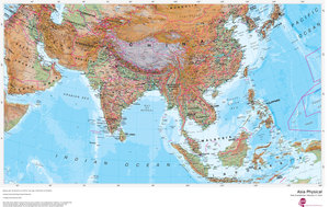
Asia Physical
This physical map of Asia features the natural terrain of the land, with countries clearly marked and international borders shown. The map's key...
$56.25
... more info
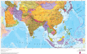
Asia Political
This political map of Asia features countries marked in different colours, with international borders clearly shown. This Asia political map also...
$56.25
... more info
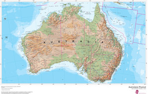
Australasia Physical
This physical map of Australasia features the natural terrain of the land, with countries clearly marked and international borders shown. The...
$56.25
... more info
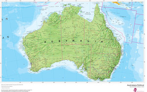
Australasia Political
This political map of Australasia features countries marked in different colours, with international borders clearly shown. This political map of...
$56.25
... more info
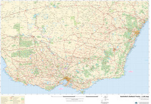
Australia's Outback Tracks - 1:1M map
Australia’s Outback Tracks map is based on 1:1 million scale data featuring Coast to Coast coverage. Perfect for the creation of personalized maps...
$50.00
... more info
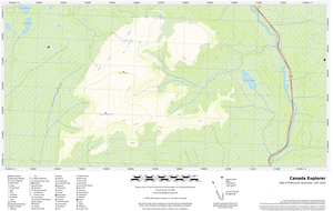
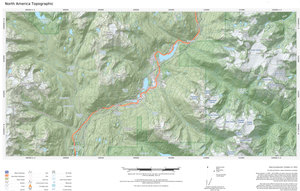
Canada Explorer
This versatile product allows you to get a topographic map of anywhere in Canada. It has been designed so you can create a map for your next...
$25.00
... more info
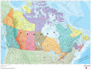
Canada Political
This Canada map clearly depicts all the cities, major roads and also shows all the Provinces and Territory boundaries. All major cities and areas are...
$56.25
... more info
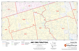
Canada Postal Codes - Forward Sortation Areas
Custom postal code maps, grouped by forward sortation area (FSA), can be made for anywhere in Canada. FSAs are the first three characters of a postal...
$59.99
... more info
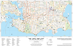
Canada Roads and Recreation
This versatile product allows you to get a road map of anywhere in Canada. It has been designed so you can create a map for your next trip. This...
$25.00
... more info
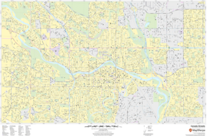
Canada Streets
The MapSherpa Street product is ideal for the Business owner who needs local or regional road network information within a service delivery,...
$61.25
... more info
Canada Terrain
This versatile product allows you to get a wall map of anywhere in Canada. It has been designed to create beautiful maps that emphasize the natural...
$27.50
... more info
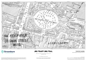
Central London 1890-1900 1:1,250
Detailed map coverage of central London sourced from high quality Historical Ordnance Survey scans. Maps are from the 1890-1900 period with older...
$129.00
... more info
Eastern Atlantic Provinces
Create custom regional maps in Canada from this series of attractive detailed road maps covering most of the populated areas across Canada. Maps are...
$21.99
... more info
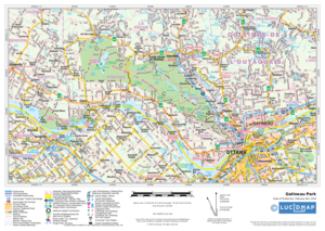
Eastern Ontario Western Québec
Create custom regional maps in Canada from this series of attractive detailed road maps covering most of the populated areas across Canada. Maps are...
$21.99
... more info
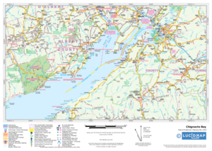
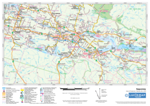
Eastern Québec
Create custom regional maps in Canada from this series of attractive detailed road maps covering most of the populated areas across Canada. Maps are...
$21.99
... more info
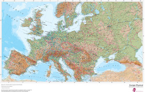
Europe Physical
Our physical Europe map features the natural terrain of the land, with countries marked and borders shown. The map's key helps to identify the...
$56.25
... more info
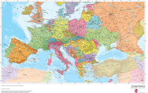
Europe Political
Our politically coloured map of Europe features countries marked in different colours, with international boundaries shown. All major towns and...
$56.25
... more info
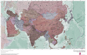
Executive Asia Political
Splendid map of the Asia in muted tones. This Asia map features countries marked in a different colour, with international boundaries shown.
$56.25
... more info
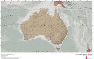
Executive Australasia Political
Splendid map of the Australasia in muted tones. This Australasia map features countries marked in a different colour, with international boundaries...
$56.25
... more info
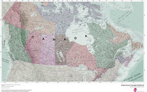
Executive Canada Political
Splendid map of the Canada in muted tones. This Canada map clearly depicts all the cities, major roads and also shows all the Provinces and Territory...
$56.25
... more info
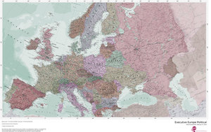
Executive Europe Political
Splendid map of the Europe in muted tones. This European map features countries marked in a different colour, with international boundaries shown.
$56.25
... more info
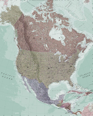
Executive North America Political
Splendid map of the North America in muted tones. This North America map features countries marked in a different colour, with international...
$56.25
... more info
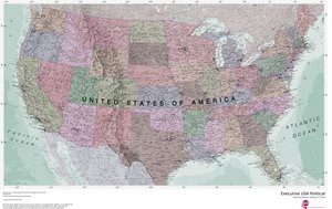
Executive USA Political
Splendid map of the USA in muted tones. This USA map clearly depicts all the cities, major roads and also shows all the state areas and boundaries.
$56.25
... more info
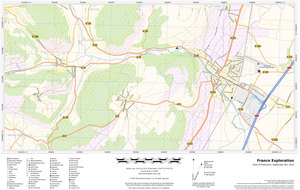
France Explorer
This versatile product allows you to get a topographic map of anywhere in France. It has been designed so you can create a map for your next...
$25.00
... more info
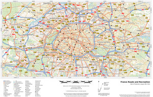
France Roads and Recreation
This versatile product allows you to get a road map of anywhere in France. It has been designed so you can create a map for your next trip. This...
$25.00
... more info
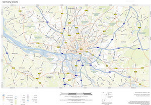
Germany Streets
Multi-scale product for Germany based on OpenStreetMap content. Appropriate for street, city and regional level mapping starting from 1:10, 000 and...
$43.75
... more info
Global Travel
Based on OpenStreetMap content; create city or regional scale maps for anywhere in the world. Maps feature a clean design and rich detail designed...
$25.00
... more info
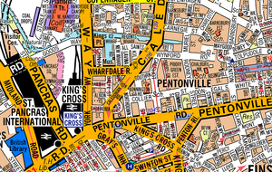
Great Britain A-Z Street Map
The Great Britain A-Z Street Map provides street level coverage for all of England. Scotland coverage includes the corridor between...
$41.25
... more info
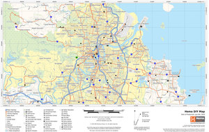
Hema DIY Map
The most up-to-date street network. Our Hema DIY Map product provides high resolution printed maps with a clean cartographic style suited to urban...
$75.00
... more info
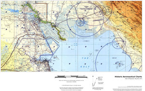
Historic Aeronautical Charts
This multi-scale product is created from Tactical Pilotage Charts and Operational Navigational Charts . These topographic maps with aeronautical...
$30.00
... more info
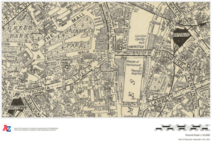
Historical London
This historical mapping of central London is made up from extracts of hand drawn pen and ink street map originals. This mapping, which includes bus,...
$30.00
... more info
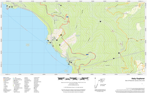
Italy Explorer
This versatile product allows you to get a topographic map of anywhere in Italy. It has been designed so you can create a map for your next...
$25.00
... more info
Italy Hiking Map
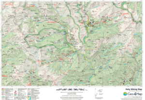
A map product of the Piedmont region of Northern Italy for the outdoor enthusiast, in particular for lovers of the GTA (Alps Grand Tour). Located to...
$25.00
... more info
Italy Road Map
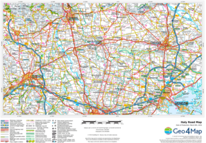
A tourist map product for Italy, perfect for planning your trip and discovering every hidden corner of Italy. Create maps at a range of scales...
$21.00
... more info
Italy Roads and Recreation
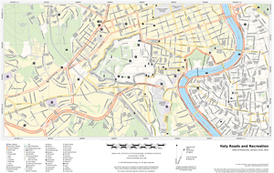
This versatile product allows you to get a road map of anywhere in Italy. It has been designed so you can create a map for your next trip. This...
$25.00
... more info
Montreal
Create custom street maps in Montreal centred on your business, home or other key point of interest. Maps are developed from Lucidmap’s iconic...
$21.99
... more info
National Geographic TOPO!
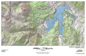
National Geographic's TOPO! equips backcountry explorers with the maps they need to reach mountain peaks, secluded lakes, and every road in...
$27.50
... more info
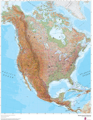
North America Physical
This physical map of North America features the natural terrain of the land, with countries marked and international borders shown. The map's key...
$56.25
... more info
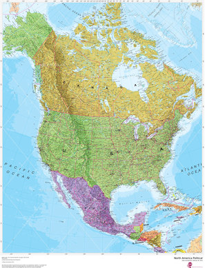
North America Political
This political map of North America features countries shown in different colours, international boundaries and major transport networks. Also shown...
$56.25
... more info
Northern Alberta
Create custom regional maps in Canada from this series of attractive detailed road maps covering most of the populated areas across Canada. Maps are...
$21.99
... more info
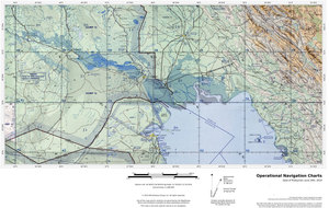
Operational Navigation Charts
Published by the United States government in the 1980s and 1990s, Operational Navigation Charts are topographic maps with aeronautical information...
$30.00
... more info
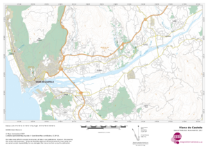
Portugal Topographic
This topographic map of Portugal shows features including cities and towns, highways with labels, major roads, streets, pathways, railways, train and...
$19.99
... more info
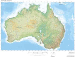
Regional Relief - Australia & New Zealand
These beautiful maps show Political and Physical features for Australia and New Zealand. Maps contain extensive country specific features and text....
$37.50
... more info
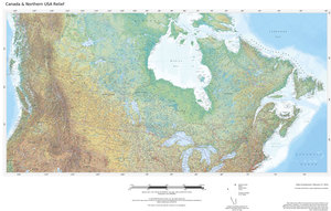
Regional Relief - Canada & Northern US
These beautiful maps show Political and Physical features for Canada and the Northern United States. Maps contain extensive country specific features...
$37.50
... more info
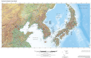
Regional Relief - Central & Eastern Asia
These beautiful maps show Political and Physical features for Central and Eastern Asia; from the Caspian Sea and Pakistan in the west to Japan and...
$37.50
... more info
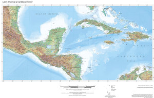
Regional Relief - Central America & Caribbean
These beautiful maps show Political and Physical features for Central America & Caribbean. Maps contain extensive country specific features and...
$37.50
... more info
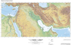
Regional Relief - Middle East
These beautiful maps show Political and Physical features for the Middle East; from Israel and Jordan in the west to Afghanistan and Pakistan in the...
$37.50
... more info
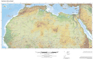
Regional Relief - Northern Africa
These beautiful maps show Political and Physical features for Northern Africa; from Tunisia in the north to the Democratic Republic of Congo in the...
$37.50
... more info
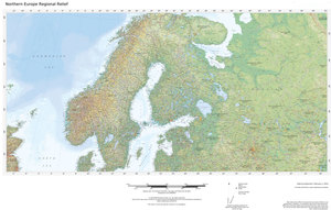
Regional Relief - Northern Europe
These beautiful maps show Political and Physical features for Northern Europe; from Iceland in the west, and Scandinavia in the east. Maps contain...
$37.50
... more info
Copyright © 2024 Charts and Maps. Powered by Zen Cart
![Charts and Maps [home link] (image for) Charts and Maps [home link]](includes/templates/rca/images/candm-logo.png)
